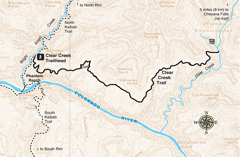
North Rim, Wilderness Trail
Clear Creek Trail
Amazing views that lead to Cheyava Falls.

Share Your Experience
What's Your Grand Canyon Story?
Your story could be featured here on our website, on GCC's social media accounts, and in our monthly newsletter!
Submit Your Story
Shop the Official Park Store
Shop Now
Trail Details
Trail Guide
To find specific trailhead locations and view topography, check out the official National Park Service guide.
Image Gallery
Find a Guided Tour
Experience Grand Canyon like never before with the Grand Canyon Conservancy Field Institute.
Find and Book a Tour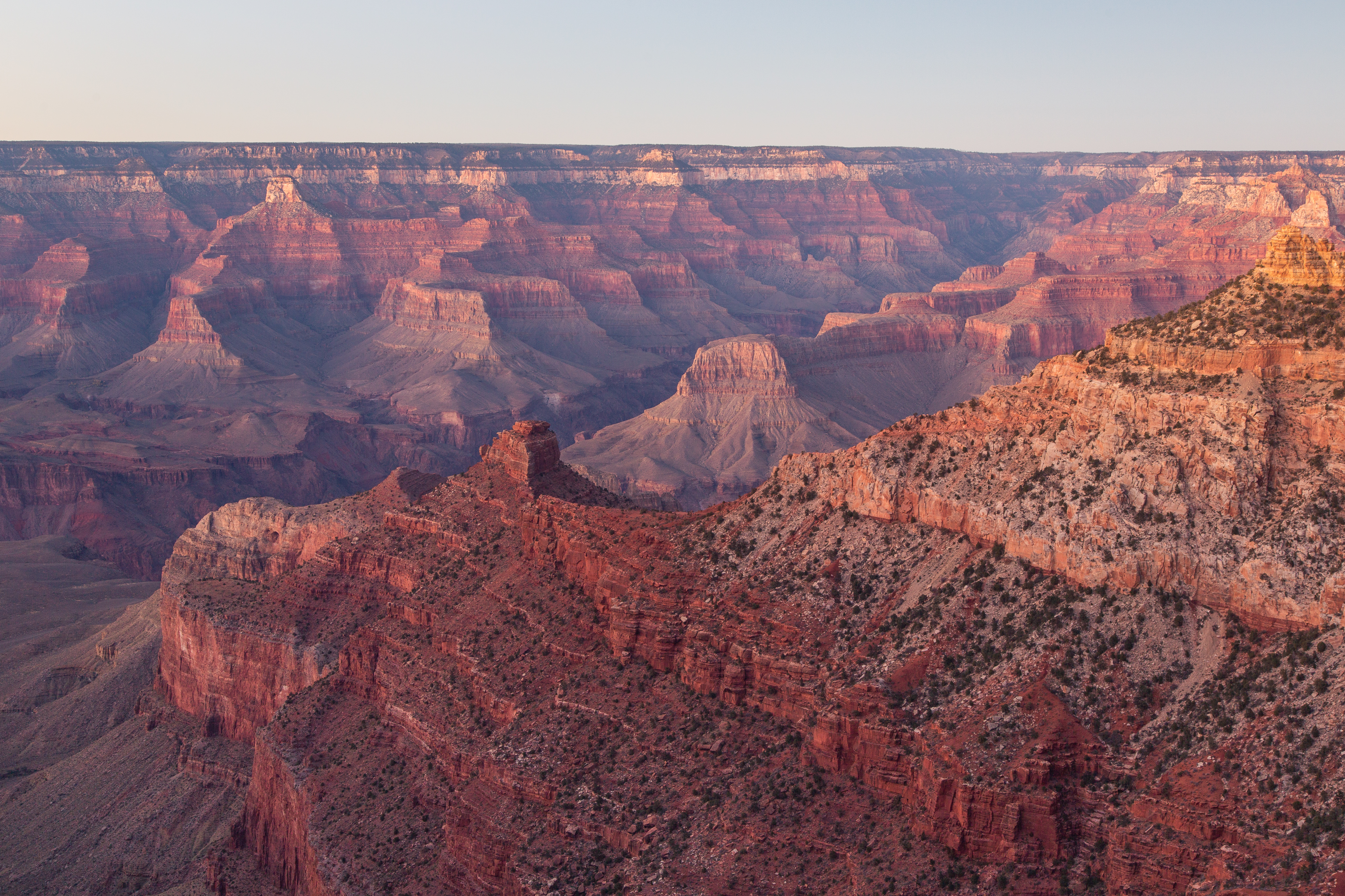
Gear Up at the Grand Canyon Store
Your purchase helps support Grand Canyon National Park.

