
Bright Angel Trail
Grand Canyon National Park’s premier hiking trail.

Become a Member of Grand Canyon Conservancy
Be a part of something GRAND by becoming a Member of GCC! You'll join a community of people who help preserve and protect Grand Canyon National Park for present and future generations.
Join or Renew Today
Find a Guided Tour
Experience Grand Canyon like never before with the Grand Canyon Conservancy Field Institute.
Find and Book a Tour
Trail Details
Since prehistoric times, American Indians have used the natural route along the fault line to enter the inner canyon and reach the springs at Indian Garden. Pictographs may be seen above past the first tunnel and above the trail between Mile-and-a-Half Resthouse and Two-Mile Corner. Miners improved the trail in 1891 and began charging a toll for others to use it. Private citizens, the Santa Fe Railway, and government officials contested ownership of the Bright Angel Trail from 1901 to 1928, when control finally passed to the National Park Service. Havasupai families still farmed at Indian Garden around the turn of the last century.

Trail Guide
To find specific trailhead locations and view topography, check out the official National Park Service guide.
Image Gallery
Find a Guided Tour
Experience Grand Canyon like never before with the Grand Canyon Conservancy Field Institute.
Find and Book a Tour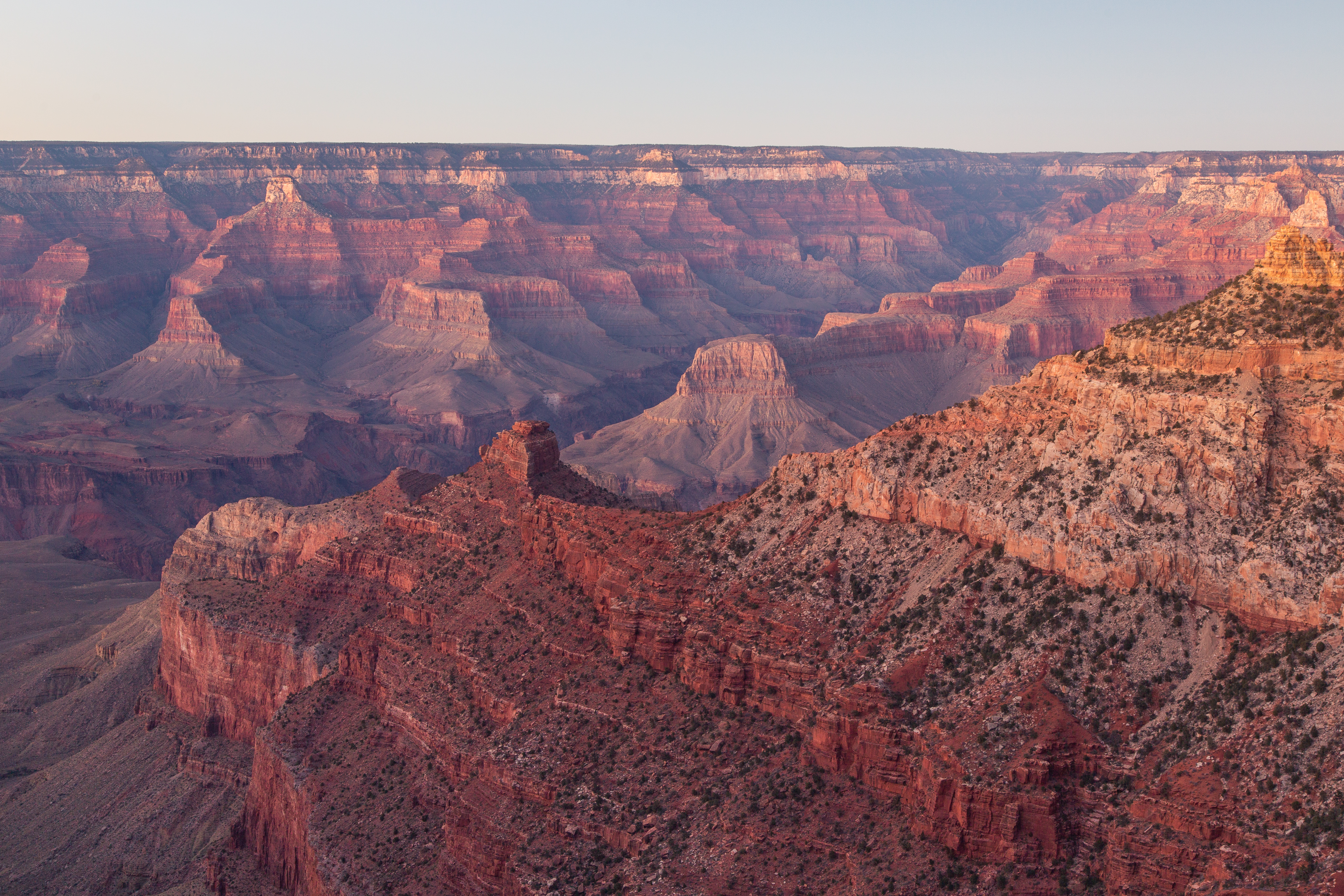
Gear Up at the Grand Canyon Store
Your purchase helps support Grand Canyon National Park.


