New Hance Trail
The most difficult established trail on the South Rim of Grand Canyon.

Become a Member of Grand Canyon Conservancy
Be a part of something GRAND by becoming a Member of GCC! You'll join a community of people who help preserve and protect Grand Canyon National Park for present and future generations.
Join or Renew Today
Find a Guided Tour
Experience Grand Canyon like never before with the Grand Canyon Conservancy Field Institute.
Find and Book a Tour
Trail Details
An outcropping of Precambrian schist near Hance Rapid marks the beginning of Granite Gorge, an area of concern to early river runners because of dangerous rapids and difficult portages. Hakatai Shale forms the distinctive red rock along the lower stretch of Red Canyon. The east end of the Tonto Trail begins at the mouth of Red Canyon. John Hance, famous canyon guide and storyteller, arrived at the South Rim around 1883. Hance first built a trail down Hance Creek to the west, following a Havasupai Indian route. When his original trail washed out, he relocated it to its present location in Red Canyon. “You must understand,” Hance once warned a tourist, “that when you get to the bottom of the canyon and reach the shore of the Colorado River it is very warm. You can’t imagine how hot it is. Why, I’ll give my word, I’ve been down there when it was so hot it melted the wings off the flies.” “But,” asked an incredulous lady from New England, “how do the tourists stand it?” “Madame,” Hance replied, “I have never yet seen a tourist with wings!”

Trail Guide
To find specific trailhead locations and view topography, check out the official National Park Service guide.
Image Gallery
Find a Guided Tour
Experience Grand Canyon like never before with the Grand Canyon Conservancy Field Institute.
Find and Book a Tour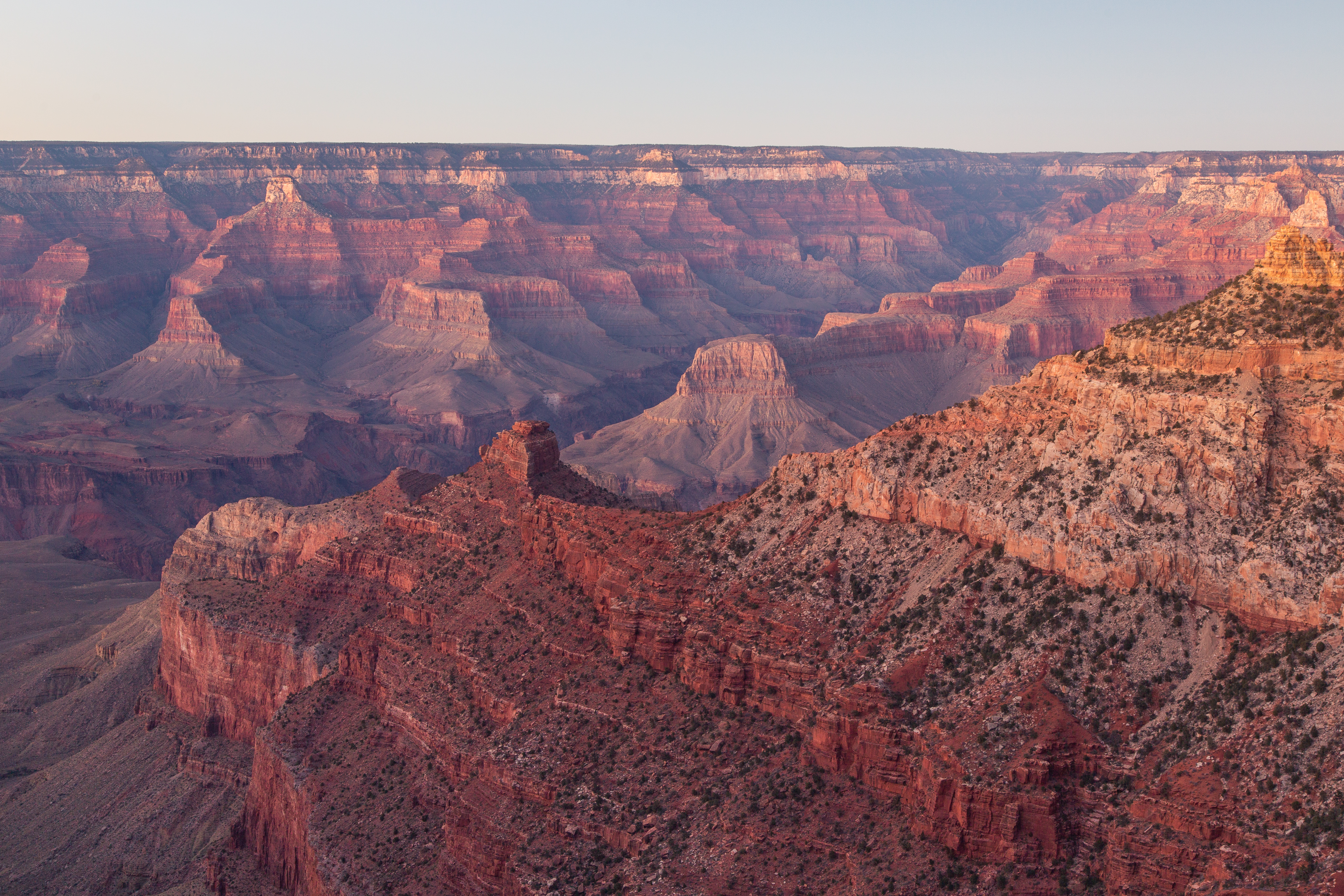
Gear Up at the Grand Canyon Store
Your purchase helps support Grand Canyon National Park.


