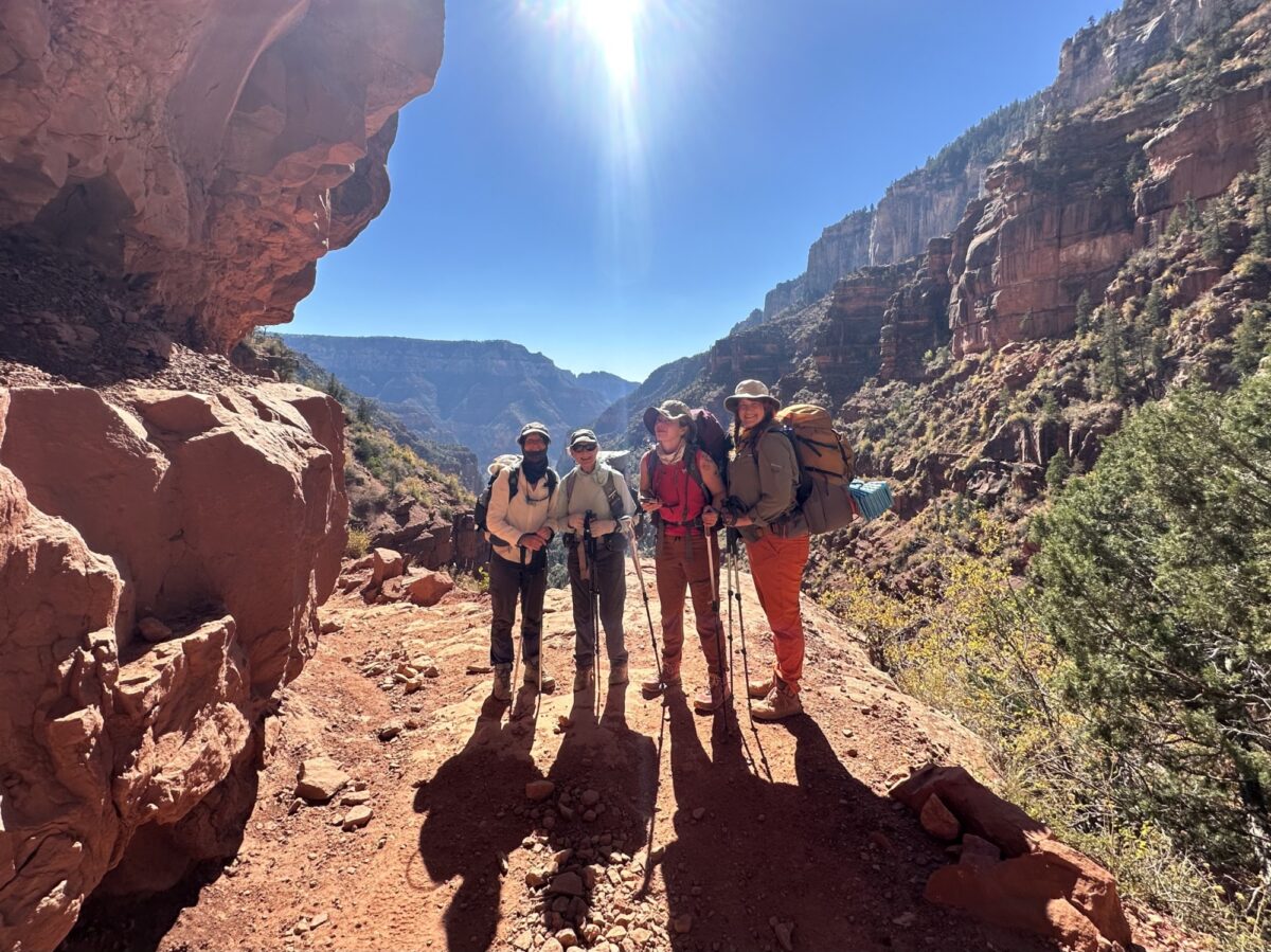
North Rim, Corridor Trail
North Kaibab Trail
The least visited but most difficult of the three maintained trails at Grand Canyon.
Get to Know Grand Canyon Conservancy Field Institute
Grand Canyon Conservancy's Field Institute provides once-in-a-lifetime immersive and educational adventures above and below Grand Canyon's rims.
Meet the Field Institute
Shop the Official Park Store
Shop Now
Trail Details
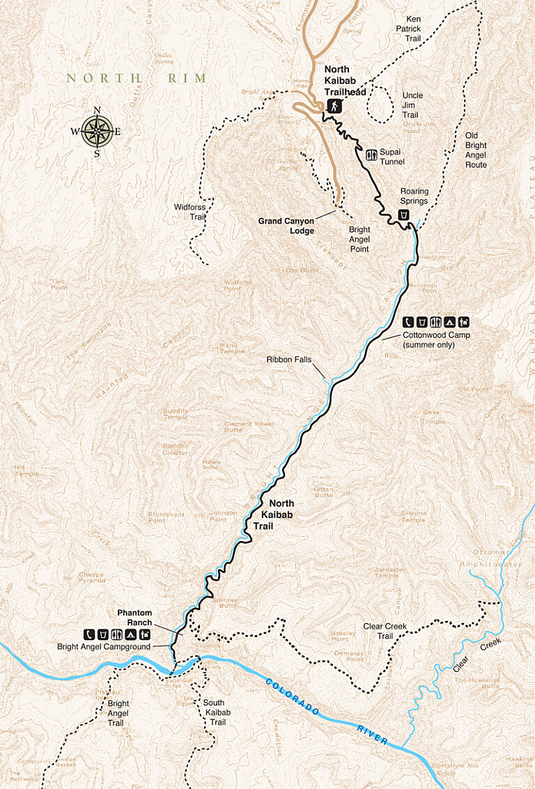
Trail Guide
To find specific trailhead locations and view topography, check out the official National Park Service guide.
Image Gallery
Find a Guided Tour
Experience Grand Canyon like never before with the Grand Canyon Conservancy Field Institute.
Find and Book a Tour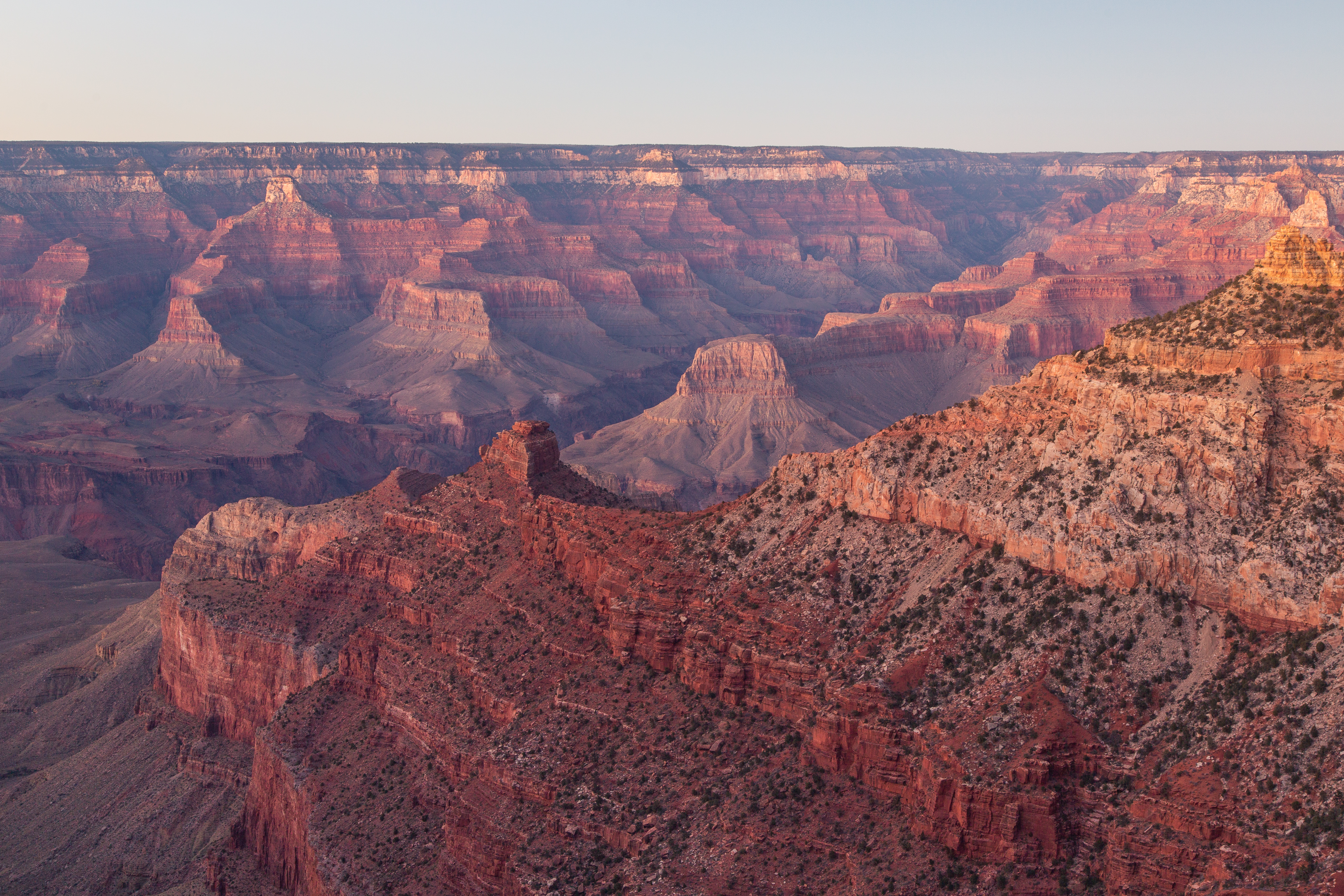
Gear Up at the Grand Canyon Store
Your purchase helps support Grand Canyon National Park.

