South Bass Trail
A challenging trail that leads to grandeur and solitude.


What's Your Grand Canyon Story?
Your story could be featured here on our website, on GCC's social media accounts, and in our monthly newsletter!
Submit Your Story
Trail Details
Archaeological evidence shows that prehistoric Cohonina Indians used this route, followed in more recent times by Havasupai Indians. Canyon pioneer William Bass improved the American Indian footpaths for horseback travel. Bass developed a tourist camp on the South Rim and a winter camp and mines on the north side of the Colorado River. Initially, he guided sightseers across the river by boat and then by cable crossing (now dismantled) to reach his trail leading to the North Rim. To do the laundry during dry spells, his wife, Ada Bass, would bundle up the family’s dirty clothes and saddle her horse for a three-day trip to the river and back. In 1915, a river party abandoned their metal boat, the Ross Wheeler, which still lies at the foot of the Bass Trail.

Trail Guide
To find specific trailhead locations and view topography, check out the official National Park Service guide.
Image Gallery
Find a Guided Tour
Experience Grand Canyon like never before with the Grand Canyon Conservancy Field Institute.
Find and Book a Tour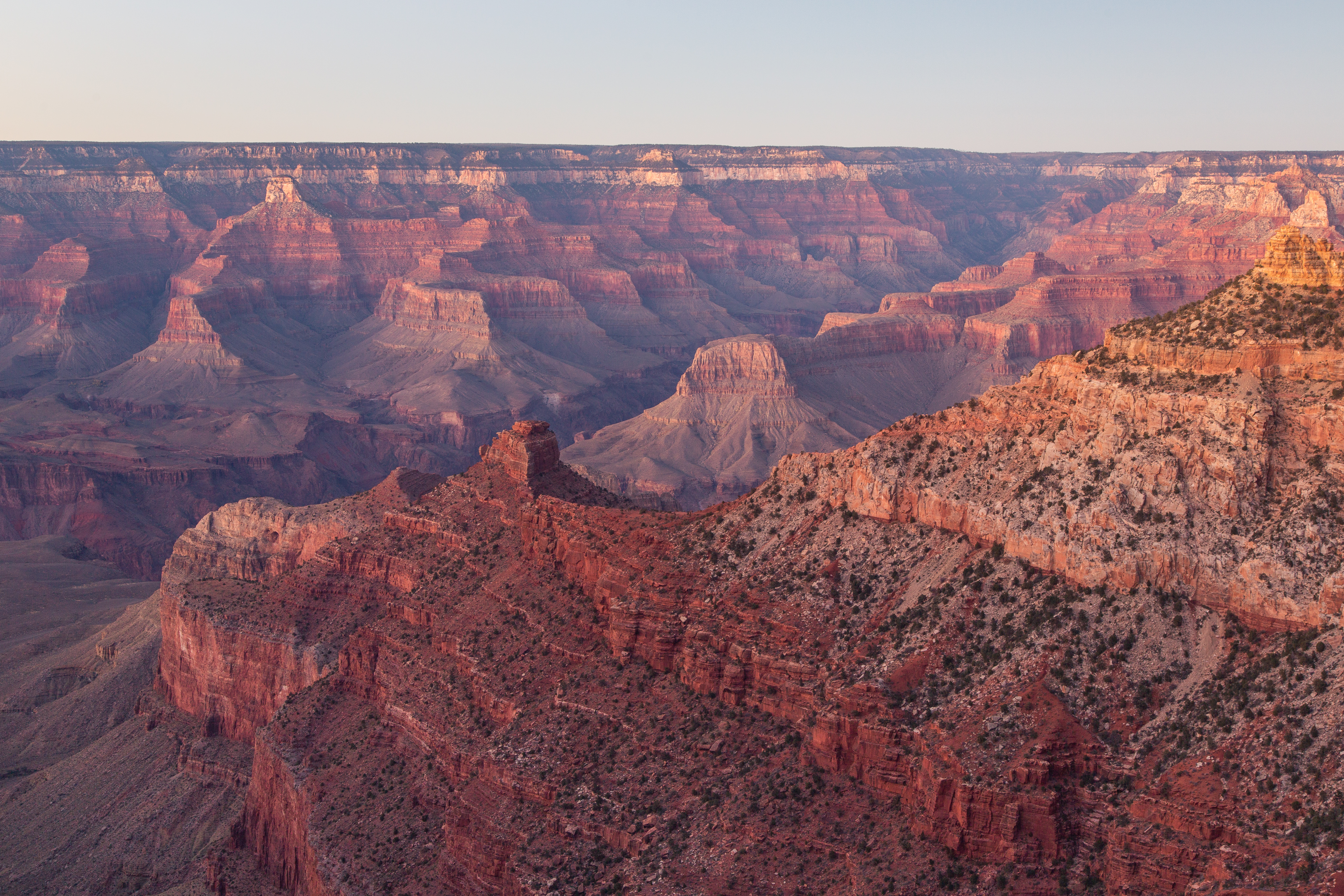
Gear Up at the Grand Canyon Store
Your purchase helps support Grand Canyon National Park.


