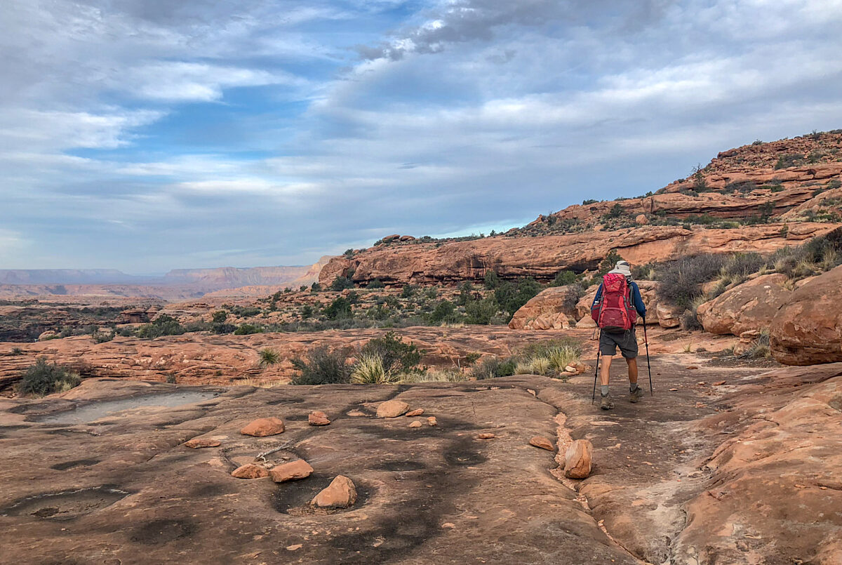
Thunder River Trail / Deer Creek Trail
Thunder River, Tapeats Spring, and Deer Spring have drawn people for thousands of years, and today, this little corner of Grand Canyon remains a favorite destination for those in search of the extraordinary.
What's Your Grand Canyon Story?
Your story could be featured here on our website, on GCC's social media accounts, and in our monthly newsletter!
Submit Your Story
Cultural Significance of Deer Creek
The Southern Paiute people who call the North Rim of Grand Canyon home, used the Deer Creek drainage for hundreds of years before white settlers expanded into the southwest. The narrow slot canyon downstream from the patio is of cultural significance to the Southern Paiute spiritual worldview, as it serves as a gateway to the spirit world.
Trail Details
Rumors of placer gold drew miners into the area in 1876. They constructed the upper portions of the trail, used by geologist Clarence Dutton several years later. Crews built the present trail into Tapeats Creek in 1926. Thunder River, one of the world’s shortest rivers, flows for only 0.5 mile (0.8 km) before entering Tapeats Creek.
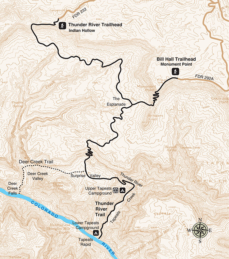
Trail Guide
To find specific trailhead locations and view topography, check out the official National Park Service guide.
Find a Guided Tour
Experience Grand Canyon like never before with the Grand Canyon Conservancy Field Institute.
Find and Book a Tour
Gear Up at the Grand Canyon Store
Your purchase helps support Grand Canyon National Park.


