South Rim, Wilderness Trail
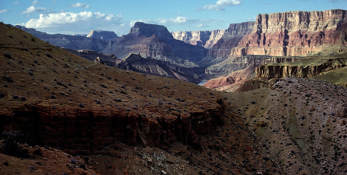
Tanner Trail
The primary access by foot into the eastern Grand Canyon.
Join Us!
Become a Member of Grand Canyon Conservancy
Be a part of something GRAND by becoming a Member of GCC! You'll join a community of people who help preserve and protect Grand Canyon National Park for present and future generations.
Join or Renew Today
Find a Guided Tour
Experience Grand Canyon like never before with the Grand Canyon Conservancy Field Institute.
Find and Book a Tour
Trail Details
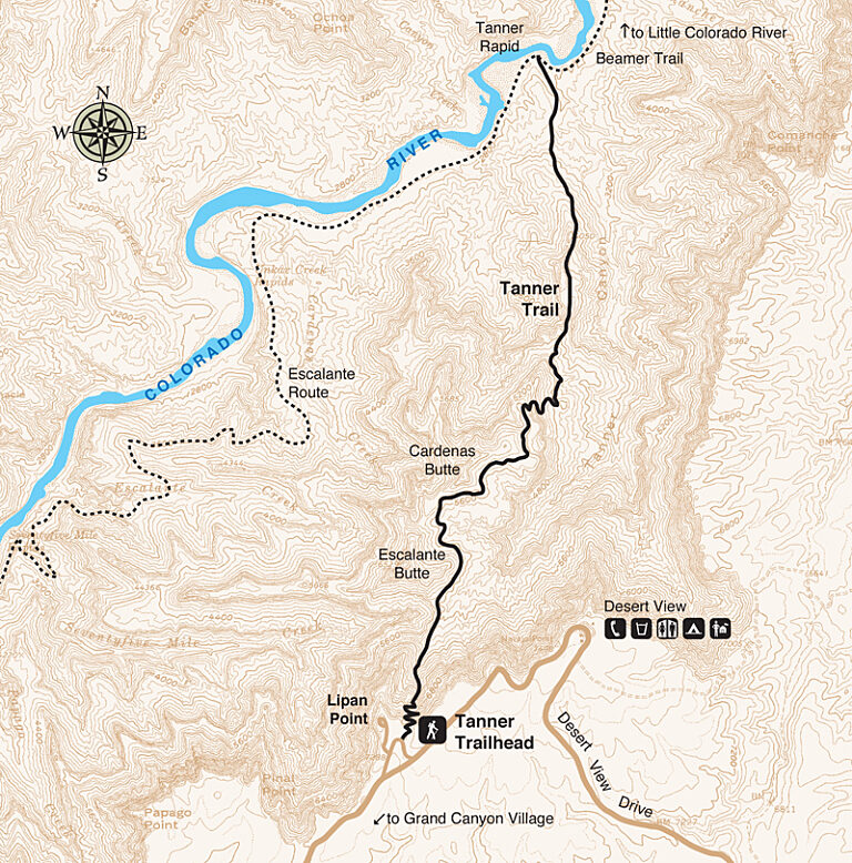
Trail Guide
To find specific trailhead locations and view topography, check out the official National Park Service guide.
Image Gallery
Find a Guided Tour
Experience Grand Canyon like never before with the Grand Canyon Conservancy Field Institute.
Find and Book a Tour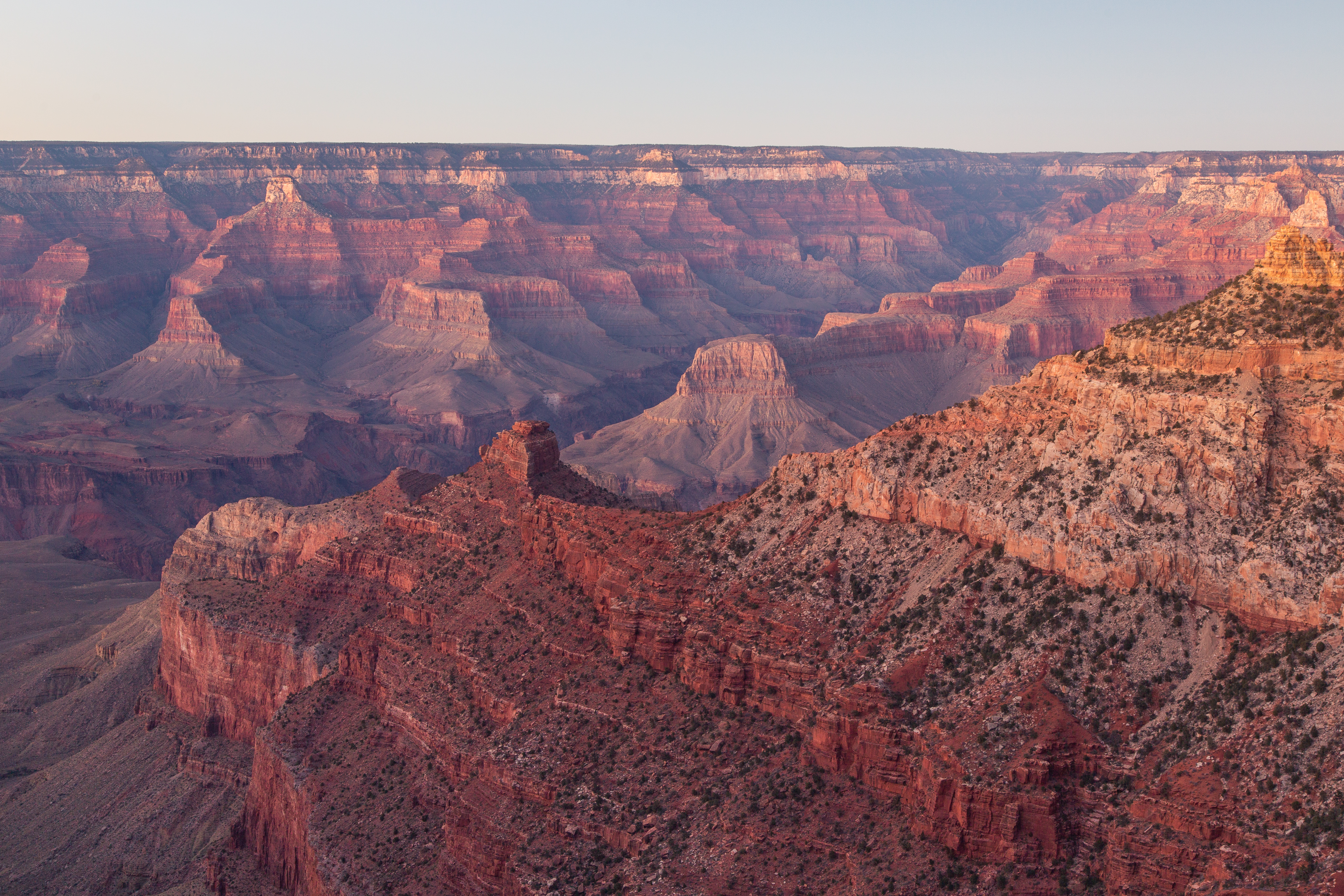
Gear Up at the Grand Canyon Store
Your purchase helps support Grand Canyon National Park.

